Preparing filters, counts, and record results…
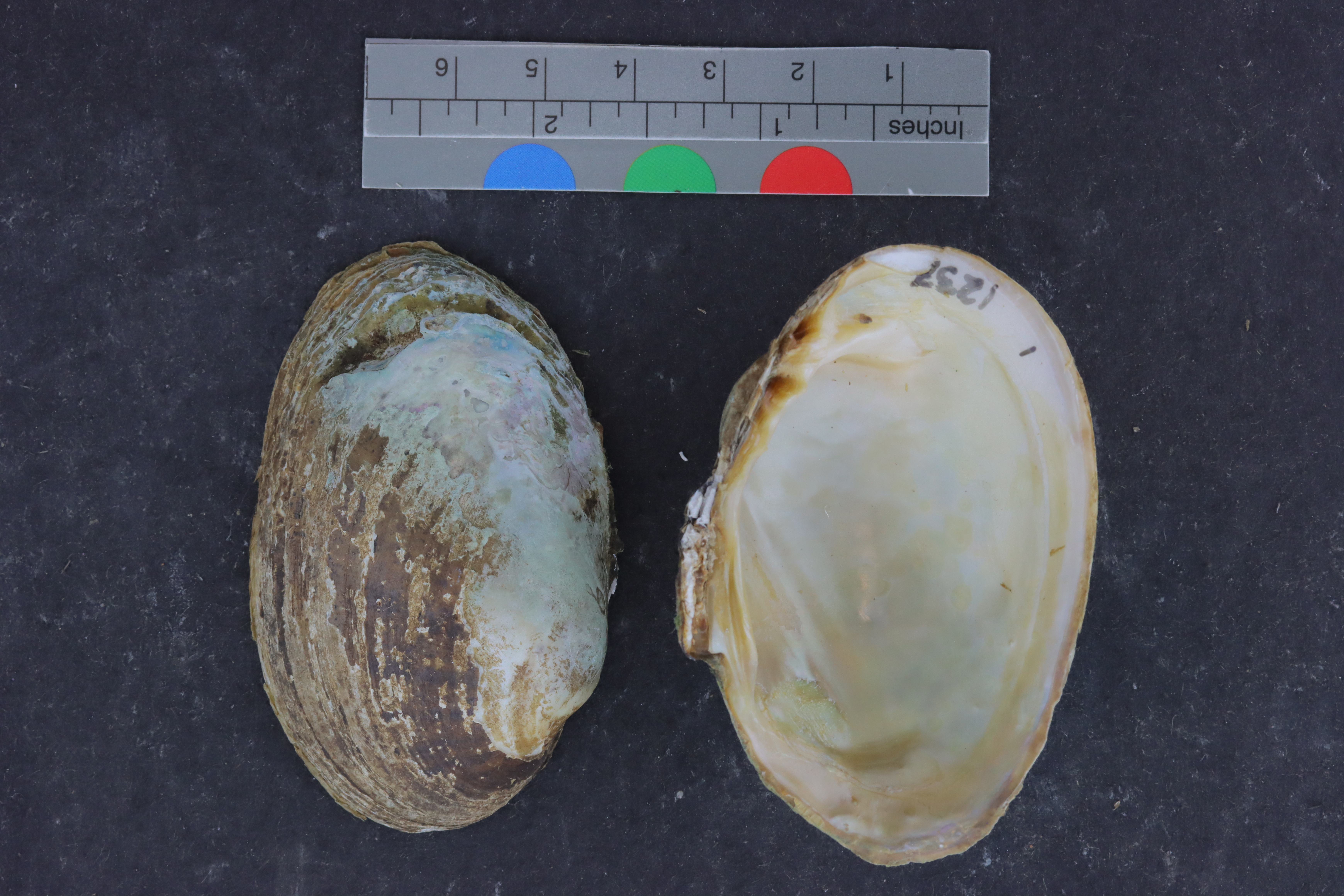
Lampsilis reeveianaALMNH:Inv:23141
Arkansas broken-ray
Specimen Data
- Catalog #
- Inv:23141
- Common Name
- Arkansas broken-ray
- Parts
- shell (dry)
- Collecting Source
- wild
- Remarks
- Collection date unknown
Collecting Event
Date: Jan 1, 1901
Collection date unknown
Collecting Agent(s)
| Name | Role |
|---|---|
| J. Harris | collector |
| Steve W. Chordas III | collector |
| A. Christian | collector |
Identifiers
- Accession #
- 9999
| Type | Value | Assigned Date | Assigned By |
|---|---|---|---|
| identifier | 1217, 1218, 1219, 1220, 1221, 1222, 1223, 1224, 1225, 1226, 1227, 1228, 1229, 1230, 1231, 1232, 1233, 1234, 1235, 1236, 1237, 1275 | Apr 27, 2022 | unknown |
Media
Media 1 of 9