Preparing filters, counts, and record results…
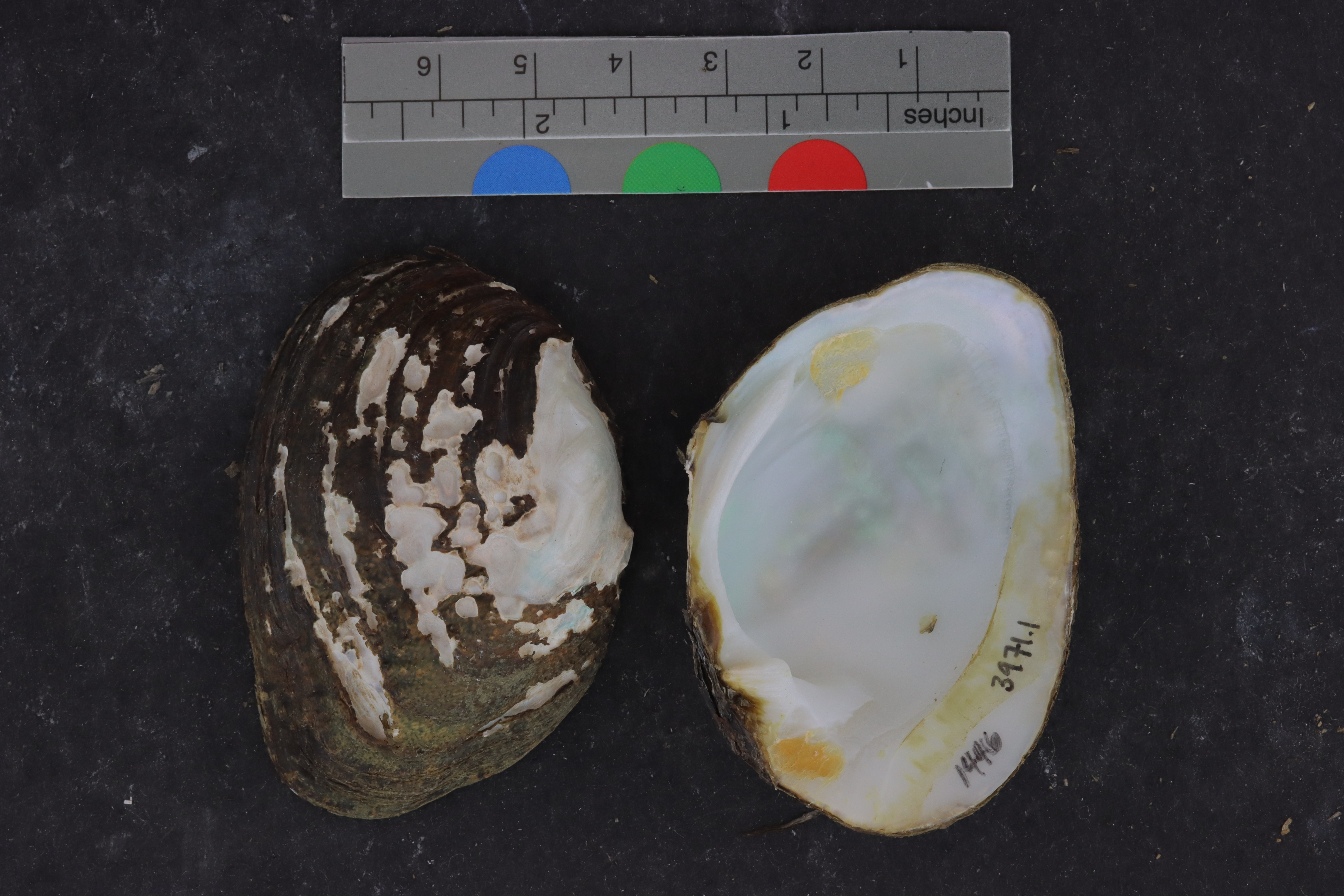
Cyprogenia abertiALMNH:Inv:3971
Edible Naiad
Specimen Data
- Catalog #
- Inv:3971
- Common Name
- Edible Naiad
- Parts
- whole organism (dry; frozen; other)
- Verbatim Date
- May 27, 1999
- Remarks
- cryovial
Taxonomy
KingdomAnimalia›PhylumMollusca›ClassBivalvia›OrderUnionida›FamilyUnionidae›GenusCyprogenia›SpeciesCyprogenia aberti
Identification History
| Scientific Name | Date | Concept | Citation |
|---|---|---|---|
| Cyprogenia aberti | -- | -- | -- |
Collecting Event
Date: May 27, 1999
Collecting Agent(s)
| Name | Role |
|---|---|
| S. A. Bruenderman | collector |
Identifiers
- Accession #
- 9999
| Type | Value | Assigned Date | Assigned By |
|---|---|---|---|
| identifier | 1445 | Apr 27, 2022 | unknown |
| identifier | 1446 | Apr 27, 2022 | unknown |
Media
Media 1 of 3
Location Map
Locality & Geography
Some fields below include values supplied by the locality normalization pipeline; they are marked (enriched).
Continent
North America
Country
United States
State / Province
Missouri
County
Madison County
Specific Locality
MDC (river access point), 1 mi E Roselle, downstream Hwy 72 bridge
Verbatim Locality
Continent: North America; Primary Div: Missouri; Secondary Div: Madison; Water: St.Francis; Basin: St.Francis; Locality: MDC (river access point), 1 mi E Roselle, downstream Hwy 72 bridge
Coordinates
37.47448° N, 90.34341° WApproximate
Data Source
Approximate location — coordinates estimated from county centroid
Location Insights
Similar Records
Related records are suggested from shared taxonomy and geography so you can branch into nearby material quickly.