Preparing filters, counts, and record results…
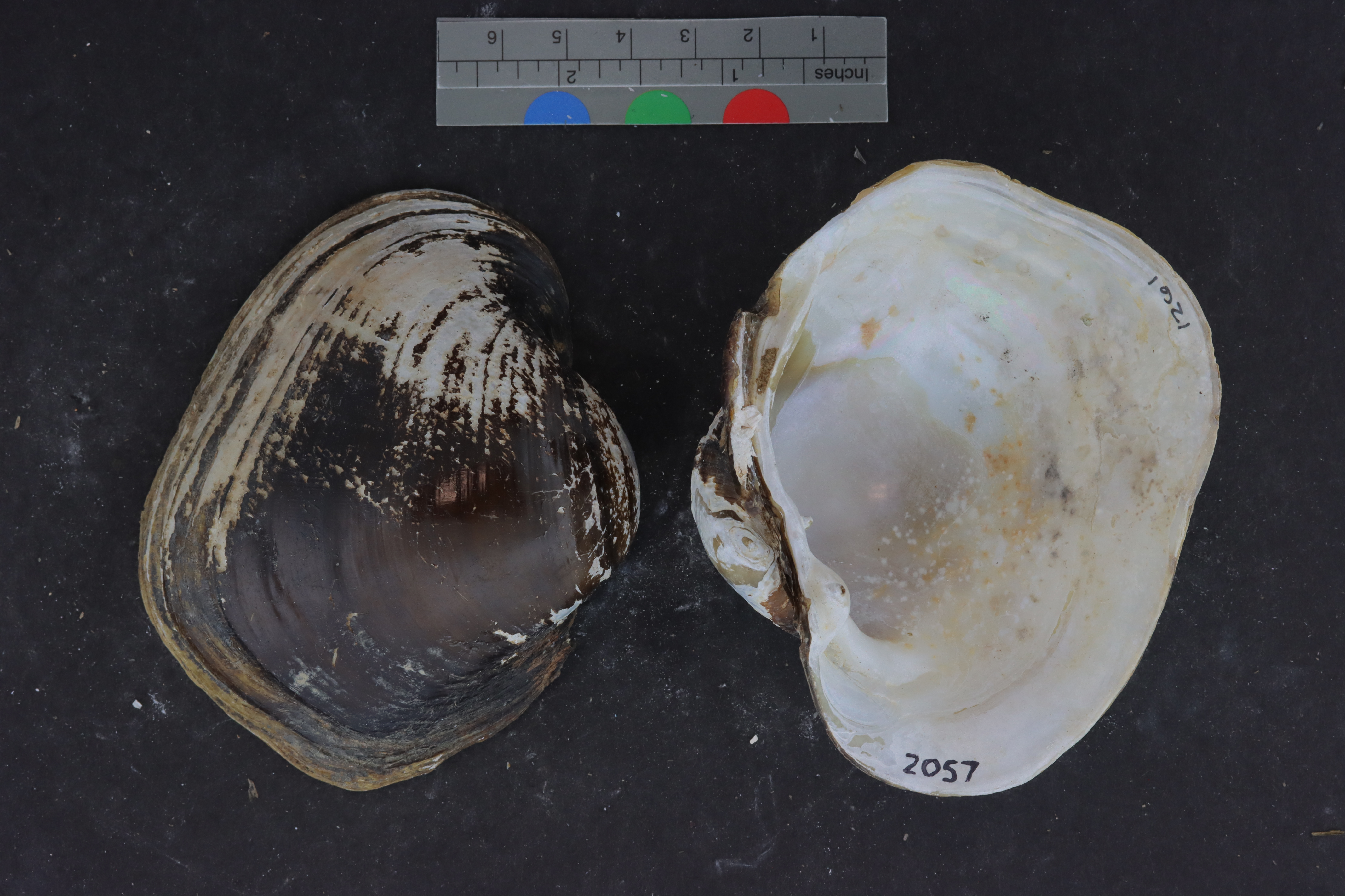
Lampsilis saturaALMNH:Inv:1261
sandbank pocketbook
Specimen Data
- Catalog #
- Inv:1261
- Common Name
- sandbank pocketbook
- Parts
- unknown (dry)
- Verbatim Date
- Between 1 May 2000 and N/A
- Remarks
- cryovial
Collecting Event
Date: Jan 1, 1900 – May 1, 2000
Collecting Agent(s)
| Name | Role |
|---|---|
| H. McCullagh | collector |
Identifiers
- Accession #
- 9999
| Type | Value | Assigned Date | Assigned By |
|---|---|---|---|
| identifier | 2056 | Apr 27, 2022 | unknown |
| identifier | 2057 | Apr 27, 2022 | unknown |
| identifier | 2057 | Apr 27, 2022 | unknown |
| identifier | 2058 | Apr 27, 2022 | unknown |
Media
Media 1 of 5
Location Map
Locality & Geography
Some fields below include values supplied by the locality normalization pipeline; they are marked (enriched).
Continent
North America
Country
United States
State / Province
Texas
County
Tyler County
Specific Locality
below Town Buff Dam, gravel bar below launch ramp on right bank
Verbatim Locality
Continent: North America; Primary Div: Texas; Secondary Div: Tyler; Water: Neches; Basin: Neches; Locality: below Town Buff Dam, gravel bar below launch ramp on right bank
Coordinates
30.76929° N, 94.37566° WApproximate
Data Source
Approximate location — coordinates estimated from county centroid